And to resist the urge to join the traveling circus

Tuesday, May 17, 2011

The Grandest Canyon

I took my sad leavetaking on Sunday morning.  I wanted so badly to take those little boys with me.... but I know their parents would miss them.  And there would have been an Amber Alert and lots of fast and crazy driving and probably a multi-state manhunt.  So, I left alone.

I drove from Durango back to Cortez and then through the Ute Mountain Indian Reservation to Valley of the Gods and Monument Valley.  How spectacular and eerie.

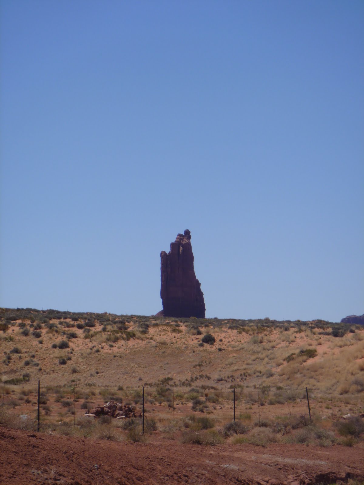
Valley of the Gods

More godliness

Monument Valley

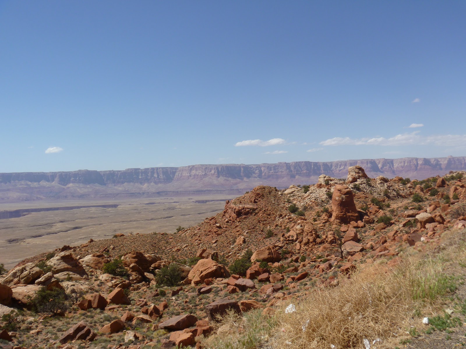
Vermillion Cliffs outside of Marble Canyon, Arizona

Ethereal cliffs again

I decided to visit the North Rim of the Grand Canyon.  I have never seen the Canyon before and I understood the North Rim to be less touristed and more pristine.  It also seemed like good timing as most services on the North Rim open on May 15th.  This section of the park is open when the roads are passable but the campgrounds, hotels, etc opened for the season on Saturday (which was technically the 14th).

I couldn't get a campground reservation in the actual park for Sunday night.  So, I camped about 40 miles south of the North Rim in a little "town" called Jacob Lake inside the Kaibab National Forest.  This turned out to be good luck.

I had time for a short hike before settling into my campsite.  The elevation was around 7200 feet.  Once the sun went down, the temperature dropped precipituously.  I wore practically every piece of clothing I brought with me.  It was in the mid 30s during the night.

I noticed lots of snow on the ground as I drove the 40 miles from Jacob Lake to the North Rim.  The North Rim's elevation is higher than the South Rim and the landscape is dramatically different.  It's around 8000 feet.


Hiking towards Cape Final.

There was evidence of forest fires every where in the park.

Cape Final.

More Cape Final.


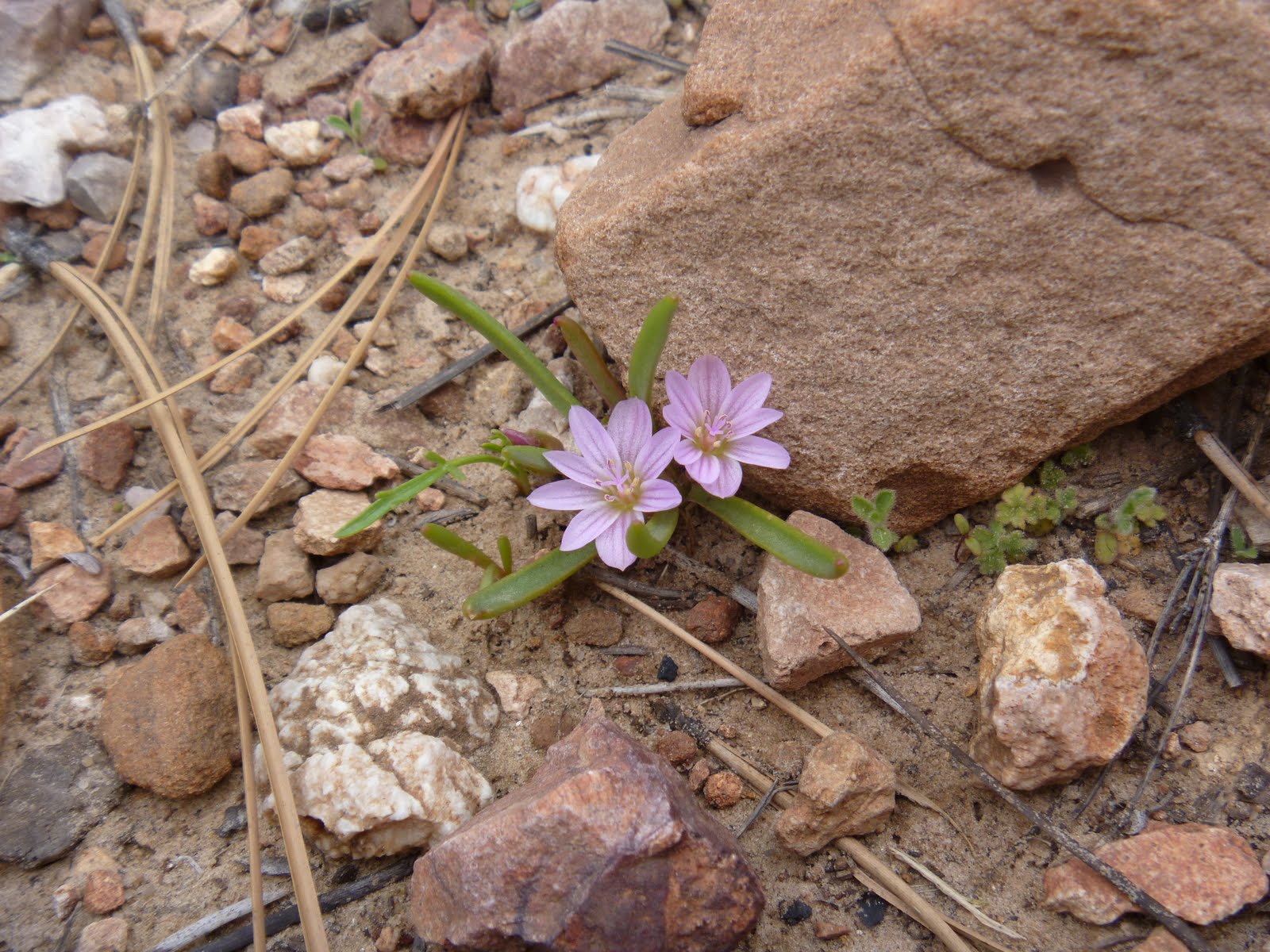
There weren't many flowers blooming at this elevation in mid May.

Vista Encantada


Rather than spend another night shivering in my tent, I drove out of the park around 3 pm and headed for.... Las Vegas.  Along the way, I stopped in the bustling metropolis of Fredonia and bought coffee at a gas station that sold guns.  At least one of the customers arrived on horseback.


I also drove through Colorado City, Arizona which is famous for being the home to the largest population of LDS fundamentalists and polygamists.


Sunday, May 15, 2011

The real deal Shiprock

Julie, the boys, and I went exploring at Shiprock-- the rock formation for which the town is named.

Moses and Sebastian hunt for "dirt bombs."

Julie, Nico, and the minivan don't want to be seen with the rest of us....

We made Nico hunt for scorpions

Globe mallow.  The boys call it the "toot flower" because it apparently causes cows some gastrointestinal distress.

Friday, May 13, 2011

Mesa Verde National Park

I had to leave my car in Cortez, Colorado for some repairs.  After I picked it up on Thursday morning, I took advantage of my proximity to Mesa Verde National Park and decided to head in for a quick tour.... which lasted almost six hours.

There are fires in Mesa Verde almost every year.  The fires are almost always caused my lightning strikes.  The most recent serious fires were in 1996, 2000, and 2002.  There are many bare vistas as a result.

Mesa Verde houses some of the most well preserved and largest cliff dwellings.  This one, the Cliff Palace, can only be visited with a ranger.  It was occupied by the Ancestral Puebloans between 1100 and 1300 AD.  These are the people formerly referred to as the Anasazi (a Navajo word meaning "the ancient ones").


They estimate that about 100-150 people lived in this area.  This site was discovered by cattle ranchers in the mid 1800s.  Only about 30% of the structures needed to be repaired by the National Park Service.  The Ancestral Puebloans left the area, likely due to an extended drought, around 1298 AD.


The tour group ahead of us gives a sense of scale.  They are standing around kivas which are constructed pits and are the ceremonial centers of the dwellings and the culture.  Each kiva has a firepit, nooks for seating, and a hole in the ground called a sipapu-- these are the holes from which the Ancestral Puebloans believe they ascended onto this earth. 

The wooden support beams are original.  Archeologists sampled the wood to determine what the climate was like in this period of time.

Almost all of the fallen trees in the park have been sampled at the base for this kind of study, called dendrochronology.

The near wall was reconstructed by the NPS in the 1930s and 1940s partly by folks working for the WPA.  The wall in the distance is the original construction.  The Ancestral Puebloans were obviously better masons than we are.

One of the kivas at the Cliff Palace.  The fire pit is protected from the ventilation outlet by a thin rock.  Pretty ingenius design!

Leaving the canyon via 70 stone steps and 3 10-ft ladders.  Quite a few members of the group were huffing and puffing and blaming it on the altitude.  We were at about 7200 feet above sea level.


Part of the 2000 burn.  They no longer try to contain the forest fires in this park.

A kiva pot in the park museum.  The traditional pottery from this area is black and white.

After the guided tour of the Cliff Palace, I took a hike to see some petroglyphs.

Blooming bitterbrush.

Western Clematis.

View down the canyon.

Petroglyphs.  These were interpreted in the 1980s by some Hopi men who said this was a creation myth.

Monday, May 9, 2011

Canyonlands and Arches National Park

I had an amazing weekend camping in Canyonlands with my generous hosts Julie, Aaron, Moses, Sebastian, and Nico.  We also made a quick visit to Arches National Park.


[Canyonlands NP, outside of Moab, Utah]


[Intrepid explorers.  These kids are great hikers!]

[Sunset from our campsite at the Needles Outpost just outside of Canyonlands, NP]

[Double Window formation at Arches, NP]

[South Window at Arches NP]

[We make Nico carry his own bag on the hike.]
[Checking out the rock formations in Canyonlands]

Friday, May 6, 2011

Mountain View to Shiprock

I escaped the torrential rains and flooding of Little Rock, Arkansas for a small town in the northern central part of the state.  Mountain View has a population of almost 3,000 people and has declared itself the "Folk Music Capital of America."  I'm not sure how one determines such a thing.  But they say it, so I guess I believe it.

I drove about 115 miles up into the beautiful Ozark mountains in the rain.  Mountain View is gorgeous.  Just gorgeous.  Even in the pouring rain.  I found a cute little B&B right on the town square.  Most weekend nights in the warm weather the square is full of musicians, both professional and amateur, playing blue grass in groups.  I was there on a Monday but the helpful B&B owner recommended a good restaurant open for dinner and a bluegrass show.

[Crooked picture of the Wildflower B&B in Mountain View]


I had dry rub Memphis-style ribs at a place called Tommy's BBQ.  The owner was friendly and sat down to talk to me for a while.  He was curious about my e-reader and wanted me to demonstrate its workings to his wife because he thought she might be interested in buying one for herself.  The ribs were amazing.  The next morning, the owners of the B&B told me that Tommy is a former bodyguard for Elvis!!  How cool!

[Dinner at Tommy's]

Next, I attended a bluegrass show which featured three brothers, ages 13, 15, and 16, and their 19 year old friend.  It was HILARIOUS.  I was the youngest person in the audience by about 35 years.  The old folks tapped their canes and yelled out during the performance.  It was a good old country time.  And these guys could play!!


I left early the next morning, making a quick stop at Blanchard Caverns which are about 15 miles from Mountain View.  The caverns are a National Forest site and they are the largest and most interesting caves in Arkansas.  There are three huge chambers full of interesting formations and lots of water. 


After the caverns, I drove in in the bright sunshine west through the gorgeous Ozark Mountains and into the long, flat state of Oklahoma.  I camped west of Oklahoma City.  It was so windy that my tent blew away when I got out of it in the morning. 

After 12 hours of driving through Oklahoma, Texas, and New Mexico.  I ate my first ever Denny's breakfast and was pleased to learn that I could have ordered a bacon sundae there:


And long last, I arrived in Shiprock, NM.


[That's me and Nico outside the Silver Bean coffee shop in Cortez, CO]

Monday, May 2, 2011

Hidden treasure: Mississippi

Friday and Saturday on the road were pretty unremarkable.  I drove north from Miami through central Florida in a royal wedding and doughnut induced haze.  The Florida panhandle was suprisingly nice.  I camped the first night outside of Tallahasee at a noisy campground near the interstate.

On Saturday, I motored west through the rest of Florida, through coastal Alabama, and then into Mississippi.  I spent the night in Jackson, Mississippi.  Lots of driving.

Here's my mileage:
Friday 4/29: 469 miles
Saturday 4/30: 488 miles

I'm trying to be a fuel efficient as possible.  If I keep my speed under 70 and avoid air conditioning, I'm getting around 44 miles per gallon.  When I have to drive slower, I can get 47 miles per gallon.

On Sunday, I left Jackson early and joined the the Natchez Trace Parkway which is a 400 mile stretch of road which starts in Natchez, Mississippi and goes all of the way to Nashville, Tennessee.  I have wanted to see this area since reading about it, sadly, in a murder mystery.  The Parkway follows a route used for 10,000 years by Natchez, Choctaw, and Chickasaw Indians.  I drove about 150 beautiful miles on this road before exiting near Tupelo, Mississippi.

I saw herons, eagles, hawks, turtles, foxes, many mosquitoes, and very few humans.

[Starting out near a reservoir in Jackson, MS]

[This is the mosquito factory.]


[Remnants of Florida wildlife still on my car.]

[A 10 mile swath of the Parkway had clearly been hit by a recent tornado]

[80% of the trees were down in some parts]

[Tree coverage along the Parkway starts to return to normal]

[Bynum Mounds.  Choctaw Indian burial mounds dating from about 7500 years ago]

[Cicada]

I left the Parkway in Tupelo, Mississippi and headed east to the incredibly charming town of Oxford, Mississippi.  This little place is home to the University of Mississippi (aka Ole Miss) and, most importantly, Oxford is the birthplace of William Faulkner.  Faulkner returned to Oxford after World War I and lived there for the remainder of his life, primarily at Rowan Oak.  The Faulkners moved into this house in 1930.  He died in 1962.  This home is maintained by the University and open to the public.  I spent a socially inappropriate amount of time wandering around.


[Mammy Cassie's quarters.]

[Greek Revival is my favorite.  Coincidence?  I think not.]

One of the surprising things about the day was that I passed the birthplaces of Oprah (Kosciusko, MS), BB King (Indianola, MS), Mississippi John Hurt (Teoc, MS), and Jim Henson (Greenville, MS).  Hmmm... what is it about Mississippi?

From Oxford, I looped south and then west.  I arrived in Little Rock, Arkansas just as strong thunderstorms hit the area.  It rained 9-12 inches last night.  If I had been camping, I would probably not be writing you this morning.

So now I am sitting in a Starbucks in Little Rock trying to decide how to proceed.  I had wanted to drive to Hot Springs National Park but it will be raining there through tomorrow.  So, instead I am going to head north and east to Mountain View, Arkansas which is the self-proclaimed Folk Music center of the south.