And to resist the urge to join the traveling circus

Monday, May 30, 2011

Forgive me reader...

for I have been lazy.  It has been over a week since my last blog entry.

I left Pescadero, CA on Saturday morning and headed for San Francisco and a visit with my cousin, Molly.  We had a lovely weekend which was made only better by glorious warm and sunny weather.  We checked out the Farmer's Market on Saturday and I dined on my own in the company of a group of Swedish sailors.  Okay.  I wasn't exactly invited to dine with them.  I just sat next to them and admired the view.

On Sunday we walked around Molly's cool neighborhood.  The highlight was visiting the storefront for Dave Eggers' writing center, 826.  It's a pirate store.  Really.  We also had a delicious picnic lunch in Dolores Park.

Here's a picture of the Women's Building in the Mission:


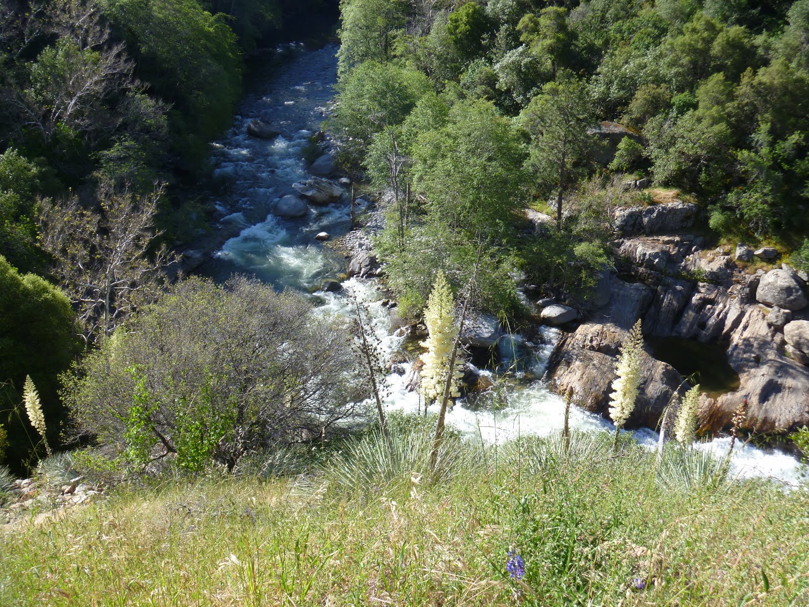
I left San Francisco on Sunday afternoon and raced north to the California/Oregon border.  I drove by fields full of grazing elk and by incredible coastal scenery.  Unfortunately, I was in such a hurry to make it to my campsite that I didn't have the chance to stop for many pictures.


I camped in the Jedediah Smith State Park.  This is a picture of my tent amongst the redwoods.


Monday was a blur.  The entire state of Oregon was a blur.  It was a gorgeous drive, but I hardly stopped.  I will deifintely plan, at some point, to return to Oregon and do some real exploring.

I landed in Gig Harbor, WA in the evening.  I planned to stay just over 24 hrs with my friends Bonnie and Aaron and their three kids, Drew, Grant, and Elsie.  I had so much fun, I couldn't tear myself away.  I stayed and stayed and played until I could no longer justifiably impose on this amazing family.

Here's part of the crew having breakfast at Kelly's Restaurant in Gig Harbor, WA.


[Annie, Bonnie, Elsie, and Drew]

[Self timer miscalculation]

Sunday, May 22, 2011

Tales from my GPS

Overturned truck full of oranges outside of Lemoncove, CA (population 315)

So my brother gave me a GPS unit for Christmas.  I powered it up just before leaving Jamaica Plain and... it didn't work.  I sent it in to be "refurbished" and had it returned to me in New Mexico.

My GPS hates me.  Or I just imagine it hates me.  As I drove out of Sequoia National Park, I knew I wanted to make my way to Highway 1-- west and north.  My old fashioned road atlas indicated that Rte 198, which runs west from Coalinga to San Lucas, was a scenic route.  My GPS insisted that I take the interstate.  So, every few miles, after I had missed some crucial turn, it had to recalculate my route.... a million times.

If you ever get the chance to drive this route, do it!!  Rte 198 winds its way through dry, empty hillsides.  It reminded me so much of Michael Ondaatje's Divisadero.  His descriptions came back to me as I drove.  Has anyone read it?  What a beautiful book.  The sad part of the trip was that there was no room to pull over and photograph the scenery.  So here's my sad attempt to drive and snap a picture.


I spent the night in Pescadero, California which is right on the gorgeous Highway 1.  I camped at Costanoa which has a lodge, cabins, tent bungalows, and organized camping.  I stayed in the "primitive" camping section and was thrilled to find out that they have nearly direct access to Costanoa State Beach and, more importantly, bathrooms with radiant heat and saunas (!!).

After being in the car all day, I set up my tent and SPRINTED for the beach.  Wow.  It was windy but beautiful.


Path to the beach.  That's yellow lupine on the right.

Lupine up close.


Looking back at the campground in the eucalyptus grove.

Saturday, May 21, 2011

The thrill of victory... the agony of, well, not exactly defeat

So, I'm being dramatic.  There wasn't a defeat.  Just a series of bad-ish days.

First of all.  I will never go back to Las Vegas.  I guess I should have known it wasn't going to be my sort of town.  I just wanted to use it as a stop-over on my way to L.A.   I bid for and won a decent hotel room for $30 (!!).  I should have known better.  But when I arrived, I was informed they were going to add on a $10 "amenity" fee.  I guess this is a usual kind of thing but I'm a Las Vegas novice.

And then my visit in L.A. lasted less time than I anticipated.  I stayed long enough for a yummy and fun two-margarita-dinner with Tim at El Coyote and a night at the Residence Inn Beverly Hills which had a kosher kitchen.

The next morning I drove to Malibu to eat breakfast at a spot I remember from a visit almost 10 years ago.  It's a place where locals hang out, so the people watching is amazing.  I saw a famous beach volleyball player and spied on him having breakfast with this teenage son and two friends.  That made the whole trip kind of worthwhile.  Plus, I got to oogle the Pacific Ocean which is never a bad thing.

From there, I drove north and east through the first of many agricultural regions in California.  I stopped at a KMart in Delano, CA.  Literally no one in the entire store, customers and employees alike, spoke english.  I felt right at home.

I spent the night in Visalia, CA.  My tent site was next to a family of four who lost their housing and planned to camp until the beginning of June when they thought they could get into a house.  They didn't have any food.  Needless to say, I shared what I had.  They didn't seem too thrilled with the donated lentils and almond milk.  So sad.

Thursday morning I made my way to Sequoia National Park.  This park is on the western slope of the Sierra Nevada range.  The foothills of this range are around 2000 feet above sea level.  Mt Whitney is the tallest peak in the lower 48 states and is over 14,000 feet!!


The Yucca were in bloom.  This stalk is over 8 feet tall!

Hillside of Yucca.


I toured Crystal Caverns with a friendly tour guide who was about 8 years old (okay, maybe 21) and was impressed that I had been to a cave in Argentina...

Crystal Caverns


Sequoia trees only grow on the western slope of the Sierra Nevadas.  They also only grow at elevations between 5,000 and 7,000 feet.  They can live to be thousands of years old and grow over 300 feet tall.  Needless to say, the weather at the higher elevations was different than in the foothills.

This picture was taken on the same day as the previous ones-- 
I swear.


That's me in front of General Sherman-- the largest tree in the world (by volume).  It's at least 2300 years old.

The roots of these trees are shallow which makes them prone to toppling.  Above is what the roots look like when they're unearthed.
I camped in the foothills in that grove of trees by the river.


Tuesday, May 17, 2011

The Grandest Canyon

I took my sad leavetaking on Sunday morning.  I wanted so badly to take those little boys with me.... but I know their parents would miss them.  And there would have been an Amber Alert and lots of fast and crazy driving and probably a multi-state manhunt.  So, I left alone.

I drove from Durango back to Cortez and then through the Ute Mountain Indian Reservation to Valley of the Gods and Monument Valley.  How spectacular and eerie.

Valley of the Gods

More godliness

Monument Valley

Vermillion Cliffs outside of Marble Canyon, Arizona

Ethereal cliffs again

I decided to visit the North Rim of the Grand Canyon.  I have never seen the Canyon before and I understood the North Rim to be less touristed and more pristine.  It also seemed like good timing as most services on the North Rim open on May 15th.  This section of the park is open when the roads are passable but the campgrounds, hotels, etc opened for the season on Saturday (which was technically the 14th).

I couldn't get a campground reservation in the actual park for Sunday night.  So, I camped about 40 miles south of the North Rim in a little "town" called Jacob Lake inside the Kaibab National Forest.  This turned out to be good luck.

I had time for a short hike before settling into my campsite.  The elevation was around 7200 feet.  Once the sun went down, the temperature dropped precipituously.  I wore practically every piece of clothing I brought with me.  It was in the mid 30s during the night.

I noticed lots of snow on the ground as I drove the 40 miles from Jacob Lake to the North Rim.  The North Rim's elevation is higher than the South Rim and the landscape is dramatically different.  It's around 8000 feet.


Hiking towards Cape Final.

There was evidence of forest fires every where in the park.

Cape Final.

More Cape Final.


There weren't many flowers blooming at this elevation in mid May.

Vista Encantada


Rather than spend another night shivering in my tent, I drove out of the park around 3 pm and headed for.... Las Vegas.  Along the way, I stopped in the bustling metropolis of Fredonia and bought coffee at a gas station that sold guns.  At least one of the customers arrived on horseback.


I also drove through Colorado City, Arizona which is famous for being the home to the largest population of LDS fundamentalists and polygamists.